

Projects

Discover current and developing Geo² Lab research projects, their methods, and expected outputs.

Current Projects

Select a project card to see an illustrative image, a fuller description, key methods, and expected research outputs.
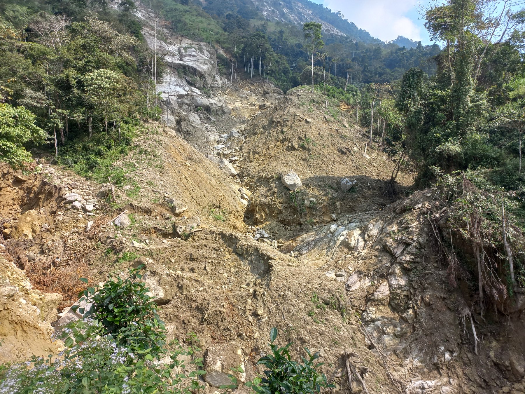
Aerial view of a large landslide in a forested landscape
01

Landslide Events and Susceptibility in Mountain Terrain

Remote sensing, field validation, rainfall, and susceptibility modelling.
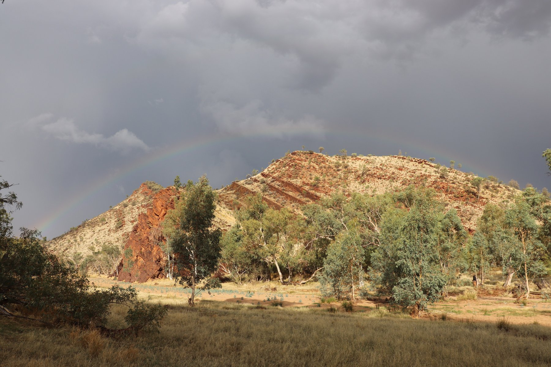
From landslide inventory to hazard assessment

This theme investigates rainfall-triggered landslides and debris flows across complex mountain terrain. It combines multi-temporal satellite imagery, UAV surveys, field mapping, terrain variables, and landslide inventories to identify failures and assess susceptibility.

Methods

  • Sentinel-2 and other satellite-image analysis
  • Change Vector Analysis and object-based mapping
  • UAV/SfM surveys and DEM-derived terrain metrics
  • Rainfall thresholds and machine-learning modelling

Expected outputs

Validated landslide inventories, susceptibility maps, rainfall-trigger analysis, and hazard-communication products.

Geo² Lab field photograph supplied for the website.

High mountain landscape with sharp ridges and snow patches
02

Environmental Reconstruction and Landscape Response

Past environments, climate-linked change, land use, and terrain evolution.
Reconstructing changing geomorphic environments

This research theme explores how landscapes respond to environmental forcing over different time scales. It brings together geomorphic evidence, sediment archives, topography, land-cover change, and historical or geospatial datasets to reconstruct landscape change.

Methods

  • Geomorphological and sedimentological field investigation
  • DEM comparison and morphometric analysis
  • Historical maps, aerial photographs, and satellite records
  • Environmental indicators and spatial-statistical modelling

Expected outputs

Environmental-reconstruction frameworks, process interpretations, and maps of landscape sensitivity to climatic and human pressures.

Geo² Lab field photograph supplied for the website.

Landslide scar on a steep forested slope
03

Fault-Controlled Landslide Distribution

Structural controls, terrain properties, and slope-failure mechanisms.
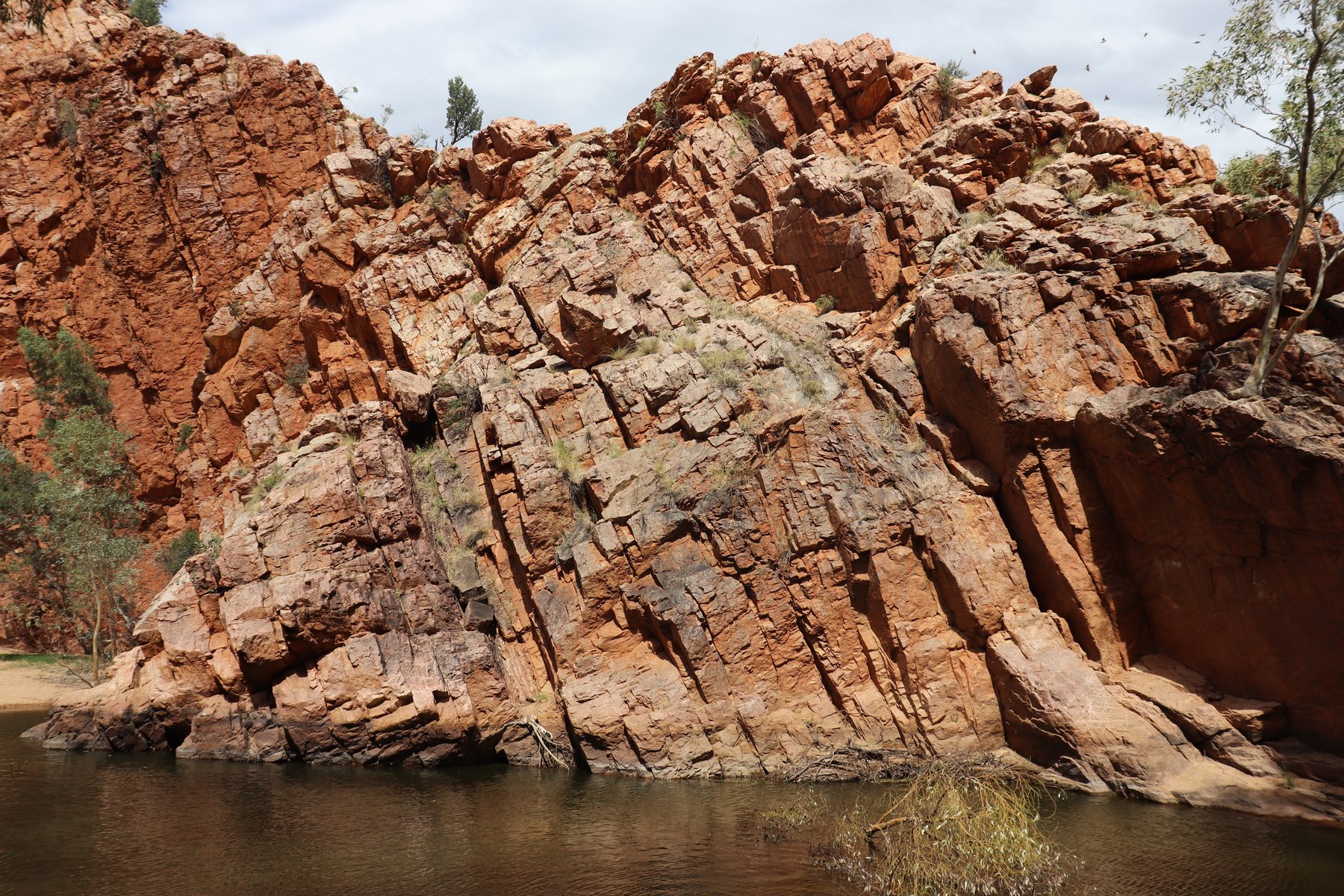
Linking geology and geomorphology to slope instability

This project examines how fault zones, lithology, fracture networks, groundwater conditions, soil properties, and topographic position influence where landslides occur and how they evolve.

Methods

  • Fault and lineament mapping from satellite and DEM data
  • Field structural observations and engineering-geological surveys
  • Terrain analysis, geomorphometry, and landslide inventories
  • Spatial correlation, susceptibility, and process-based interpretation

Expected outputs

Structural-control maps, regional landslide models, and improved explanations of slope-failure concentration.

Geo² Lab field photograph supplied for the website.

Aerial view of a large landslide deposit reaching a lake
04

Forest Biogeomorphology and Soil Dynamics

Windthrow, root plates, soil transport, weathering, and forest disturbances.
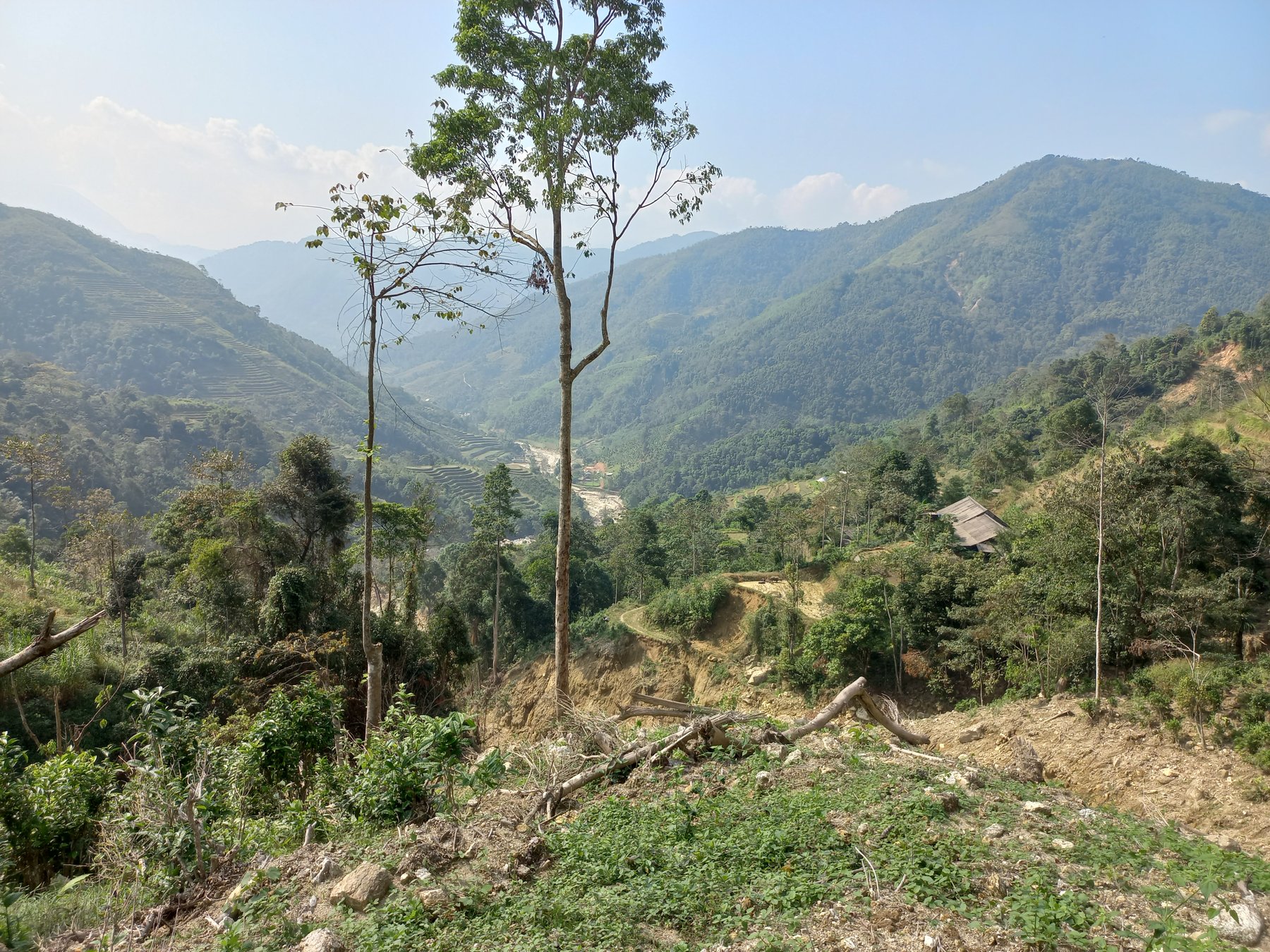
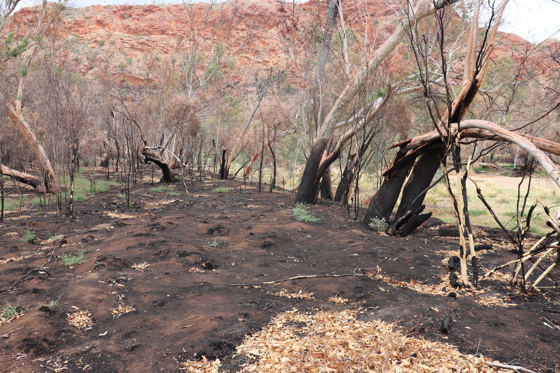
How forests shape geomorphic systems

This work studies the role of vegetation and forest disturbances in geomorphic change. It focuses on tree uprooting, windthrow patterns, root-plate effects, soil mixing, surface roughness, and the links between forest structure and slope processes.

Methods

  • Field inventory of uprooted trees and disturbed ground
  • Microtopographic surveys and high-resolution DEM analysis
  • Forest-structure, slope, and exposure assessment
  • Soil description, weathering indicators, and spatial statistics

Expected outputs

Biogeomorphic process models, disturbance maps, and quantified estimates of soil and sediment redistribution.

Geo² Lab field photograph supplied for the website.

Oblique aerial view of a large landslide source area and runout path
05

UAV and InSAR Monitoring of Active Slopes

High-resolution surface change, deformation, and active-slope monitoring.

Monitoring deformation and terrain change

This theme integrates UAV-based photogrammetry, repeat terrain surveys, satellite InSAR, field observations, and GIS to identify deformation patterns and quantify change on active slopes.

Methods

  • UAV/SfM photogrammetry and repeat orthomosaic production
  • DEM of Difference and geomorphic change detection
  • Satellite InSAR time-series analysis
  • Field checks, GNSS control, and integrated GIS interpretation

Expected outputs

Deformation time series, terrain-change maps, interpreted failure zones, and monitoring strategies for active landslides.

Geo² Lab field photograph supplied for the website.